|
Virginia Weather Images:
Blacksburg National Weather Service Radar
NWS radar imagery for Southwest Virginia
Wakefield National Weather Service Radar
NWS radar imagery for Southeast Virginia
Sterling National Weather Service Radar
NWS radar imagery for Northern Virginia
Morristown National Weather Service Radar
NWS radar imagery for Extreme Southwest Virginia
Regional Intellicast Radar
Regional Doppler Radar Summary for the mid-Atlantic
Regional Intellicast Precipitation Estimate
Regional Precipitation Estimate from Doppler Radar Summary
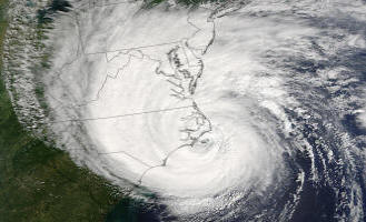
Regional Intellicast Satellite
Infrared mid-Atlantic Region Satellite Photo
|
Virginia Weather Links:
Virginia Zone Forecast - Map Format
Find NWS zone forecast for your region
Virginia Zone Forecasts - List Format
Virginia state and regional forecasts by county and city
Virginia Zone Forecasts by Issuing NWS Station
National Weather Service Zone Forecasts for Virginia
Interactive Weather Information Network – Virginia
Click a city on the map to view a summary of the weather and hourly observations over the past 24 hours
Virginia Weather Round-Up
Virginia forecasts and weather
Automated Flood Warning System (AFWS) – Virginia IFLOWS Network
Click on the county for precipitation data over various intervals in the last 24 hours. Also contains a data archive. Only covers the Shenandoah Valley, Southwestern Virginia, and a bit of Central Virginia
|

 Current Conditions